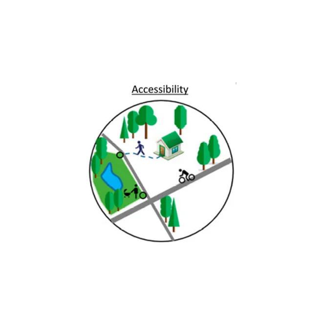
By integrating realistic walking routes and park size weighting, the Greenspace Accessibility Index (GACI) offers a more practical and community-focused measure of how easily residents can reach quality public parks.
Jan 15, 2025
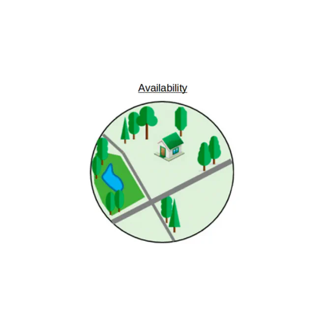
By combining NDVI, LAI, and LULC data at multiple scales with lacunarity-based weights, the Greenspace Availability Index (GAVI) captures both the quantity and arrangement of urban vegetation - providing a more accurate and nuanced measure of greenspace.
Jan 14, 2025
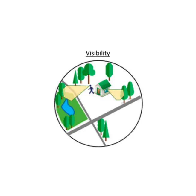
By combining binary greenspace data with DSM/DTM viewshed analysis, the Visibility-based Greenspace Index (VGVI) captures how much vegetation is actually seen from a ground-level perspective—offering a more user-centered and comprehensive measure of urban greenery.
Jan 13, 2025
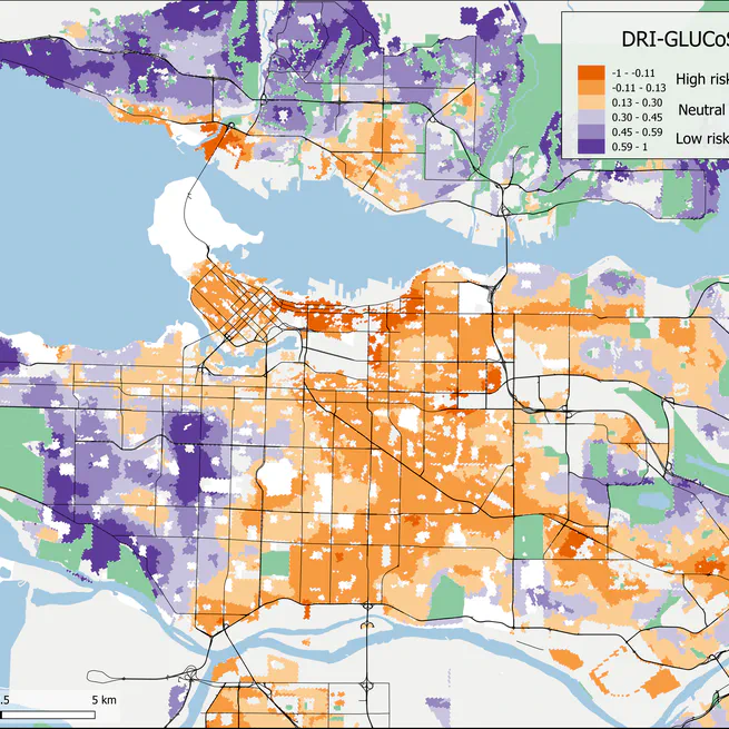
We propose a novel diabetes risk index (DRI-GLUCoSE) derived from socioeconomic status and satellite data based greenspace. We mapped index scores in two Canadian cities (Vancouver and Hamilton) and validated the index using fully adjusted logistic regression models to predict individual diabetes status. The final models achieved a predictive accuracy of 75%, the highest among environmental risk models to date. Our combined index of local greenspace and socioeconomic factors demonstrates that the environmental component of diabetes risk is not sufficiently explained by diet and physical activity, and that increasing urban greenspace may be a suitable means of reducing the burden of diabetes at the community scale.
May 12, 2022
R package for computing Lacunarity for Spatial Raster
Dec 16, 2021
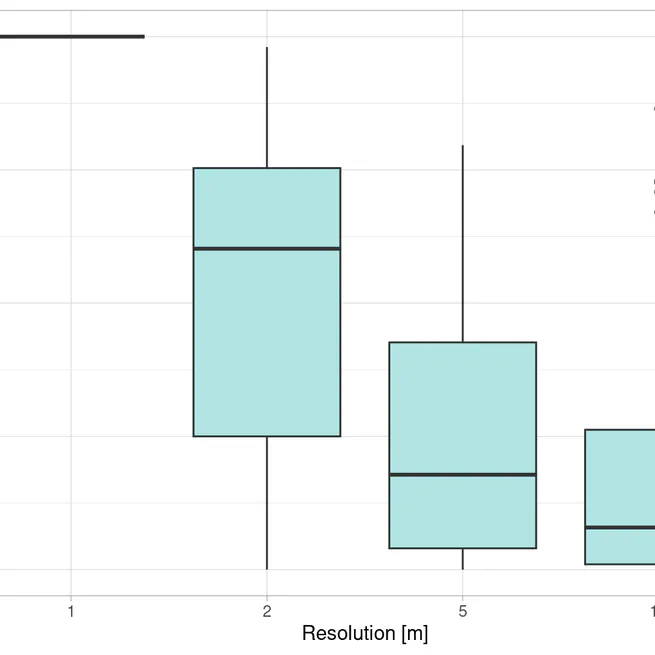
Thinking critically about parameters before running the code is always important. In this post I will explain how to set important parameters when conducting a Visibility Analysis.
Jun 22, 2021
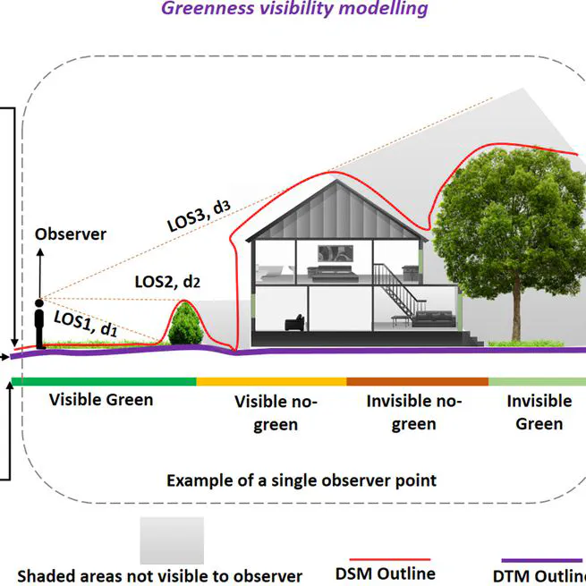
Exposure to residential greenness or green spaces such as parks or gardens are beneficial for multiple measures of health. One type of greenspace exposure is visibility, referring to the visual perception of greenness. In this post I will demonstrate, how to conduct a viewshed based visibility analysis.
Mar 15, 2021